
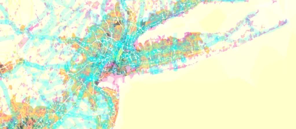

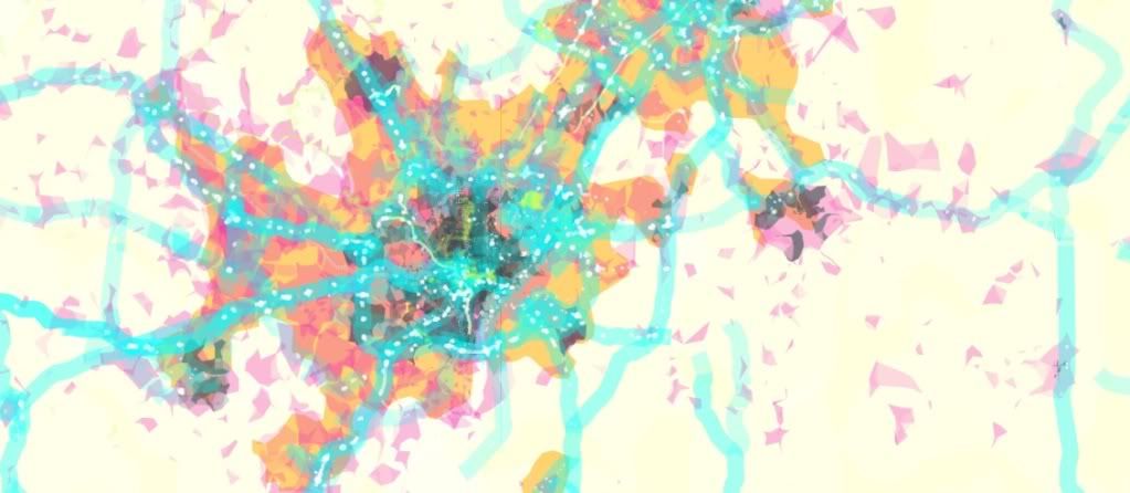
Recognize these? Hint: they're three of the most amazing cities in the world (answers are at the bottom of this post). PrettyMaps is an interactive, experimental map by Stamen Design. Apart from being absolutely beautiful, these maps are an interesting way to compile information. According to the Stamen website, the maps are a combination of Flickr shapefiles, city and neighborhood data from Natural Earth, and road and highway data compiled by the OpenStreetMap project. Stamen Design has lots of other neat map projects- but I have to admit that I can't quite figure out a few of them.
Maps from top to bottom: New York, London, Washington D.C.
No comments:
Post a Comment